Bundaberg grew fast after the sugar boom of the late 1800s, with much of the city centre built on alluvial flats along the Burnett River. Those same deposits – soft clays, loose sands and old river terraces – now pose a challenge for modern seismic design. We carry out seismic microzonation in Bundaberg to map how the local geology will influence ground motion during an earthquake. Instead of relying on regional codes alone, we measure shear-wave velocity profiles with MASW and HVSR to assign the correct site class per AS 1170.4. Our team has done this work across the Wide Bay region, from the CBD to the newer estates on the southern outskirts.
A VS30 below 360 m/s shifts the site class from C to D, altering the design spectrum and potentially increasing base shear by 30%.
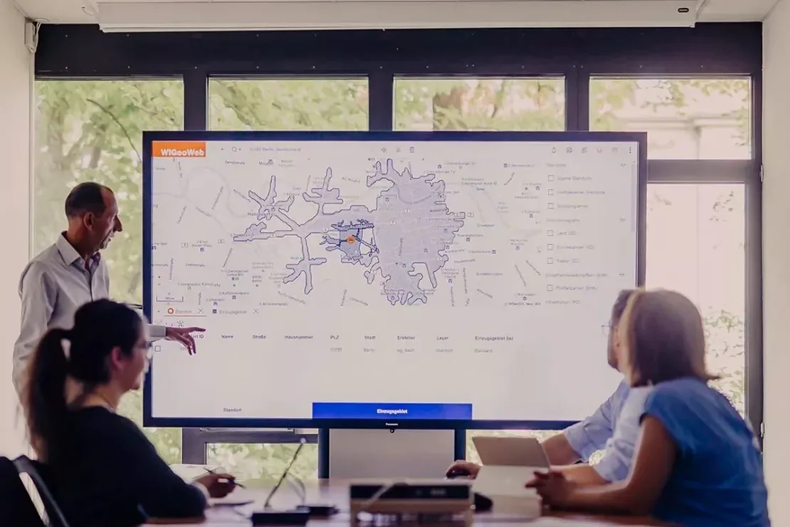
Methodology applied in Bundaberg
Typical technical challenges in Bundaberg
Bundaberg sits in a moderate seismic zone, but the real risk comes from the soil column. In 2020 a magnitude 4.2 event near Gayndah was felt across the city, and residents on soft ground reported stronger shaking than those on the volcanic slopes west of town. That's the amplification effect – loose alluvial soils can double or triple the ground motion compared to rock. Without proper seismic microzonation in Bundaberg, a building designed with a generic site class could be under-designed by a factor of two. We've seen it happen in other regional centres. The Burnett River floodplain alone covers roughly 40% of the urban area, and most of that falls into site class D or even E. Mapping these zones before construction is the only way to avoid unpleasant surprises during a seismic event.
This service complements our laboratory testing work for a complete project analysis.
Our services
We deliver a complete seismic microzonation package tailored to Bundaberg's geology, from field acquisition to final GIS-ready maps.
MASW (Multichannel Analysis of Surface Waves)
Active-source surface wave survey with 24 to 48 channels. Provides VS30 profiles down to 30 m depth. Ideal for sites where boreholes are limited or too costly.
HVSR (Horizontal-to-Vertical Spectral Ratio)
Passive microtremor measurement using a single triaxial seismometer. Identifies the fundamental site frequency (f0) and confirms site class boundaries.
SPT Boreholes with Shear-Wave Logging
Standard penetration tests every 1.5 m plus downhole shear-wave velocity measurement. Direct correlation with SPT N-values for liquefaction assessment.
Microzonation Mapping & Reporting
GIS-based maps showing site class, fundamental frequency and amplification factors. Deliverables include shapefiles, PDF reports and direct input parameters for structural models.
Frequently asked questions
How is seismic microzonation different from a standard geotechnical investigation?
A standard investigation focuses on bearing capacity, settlement and soil classification. Seismic microzonation adds the ground-motion component: it measures shear-wave velocity (VS30), site frequency and amplification factors so the structural engineer can assign the correct design spectrum per AS 1170.4. Without it, you might overestimate or – more dangerously – underestimate the seismic demand on your structure.
What is the typical cost range for a seismic microzonation study in Bundaberg?
For a typical residential or low-rise commercial site, the cost ranges between AU$6,920 and AU$24,230 depending on site size, number of HVSR stations and MASW lines required. Larger developments with multiple boreholes and downhole logging fall at the higher end. We always provide a fixed-price quote after a site visit.
How long does a seismic microzonation survey take?
Fieldwork for a standard 2,000 m² site usually takes one to two days. MASW lines can be deployed and recorded in half a day if access is clear. HVSR stations are left recording for 30–60 minutes each. Data processing and reporting typically take another 5 to 10 working days, depending on the complexity of the geology.
Does Bundaberg have any specific seismic hazards besides ground shaking?
Yes – liquefaction potential is a real concern in the Burnett River alluvium and the coastal sand deposits near Bargara. The loose saturated sands that dominate those areas can lose strength during cyclic loading. Our microzonation report includes a liquefaction susceptibility map based on SPT N-values and fines content, following the NCEER method (Youd & Idriss, 2001).